Our History
January 1, 2020
True North Gear, a firefighting gear and apparel company in Seattle, WA, partners with FWAC for the 2020 year to promote the Wildfire Map
and their line of wildland firefighter gear and apparel. Read more here.
May 10, 2019
FWAC intends to be the best provider of wildfire information in the U.S.
To achieve this goal, we spent several months making improvements and adding new features to our Wildfire Map. This is the most data we've included
in any one of our products!
February 2018
FWAC celebrates being an official nonprofit organization for one year.
November 29, 2017
Began featuring the first aerial footage pertaining to outdoor recreation
and snow conditions, dubbed the FWAC Flyover.
October 26, 2017
The first issuance of the Slope of Nope avalanche prediction model
was done.
September 15, 2017
The Internal Revenue Service (IRS) officially granted FWAC
501(c)(3) nonprofit status allowing us to receive donations that are tax deductible.
August 2017
Nearly 1,000 people per minute were viewing the Wildfire map, so
the website was moved to a powerful CentOS server in combination with Amazon AWS.
June 2017
FWAC became a Domestic Nonprofit Corporation registered in the state
of Oregon.
Began integrated numerous interagency dispatch centers for wildfire data.
February 2017
FWAC was founded by two individuals who went on to establish an
official Board of Directors.
The initial FWAC website was launched.
August 2015
The Wildfire Map was first launched using initial wildfire
data from one local interagency dispatch center.
Our Products in Action
This is our collection of the Fire, Weather & Avalanche Center "at work." These portfolio collections showcase
the work we have accomplished, or examples where our products have benefited others in the fire, weather and avalanche community.
- See Where Wildfires are Burning in Wyoming with this Map, by Ben Kuhns (2021), KGAB.com — Read more
- Wyoming and Montana Wildfires Filling Skies with Smoke, by Andrew Rossi (2021), MyBighornBasin.com — Read more
- Eastern Oregon flooding, KPTV Portland (2019), https://www.kptv.com/eastern-oregon-flooding/video_f656792f-037a-5256-b17c-82f25b386c23.html — Watch Video
- Mountain Update..., by Bluewood Ski Resort (2019), Facebook.com — Read more
- The 6 Best Fire Maps of 2019, by Ryan Dube (2019), Lifewire.com — Read more
- Fire Crews Still Fighting Fires Started Thursday By 700+ Lightning Strikes, by Jessica Tomlinson (2019), ThatOregonLife.com — Read more
- Over 100 Large Wildfires in Western US Burning Almost 2-Million Acres—Less than Half 10-Year Average, by FireBrains (2019), SnowBrains.com — Read more
- Pre-Fire Season Checklist, by Bighorn Basin Firesmart (2019), www.wytfs.com — Read more
- Air Quality Deemed Unhealthy Due to Nearby Wildfires, by Heidi Bunch (2018), www.mcindependentnews.com — Read more
- How to Track the Wildfires Raging Across the Western U.S. Online, by Rob Dozier (2018), www.slate.com — Read more
- Why are there so many wildfires in the western United States?, by Zach Fitzner (2018), www.earth.com — Read more
- The Southwest is on Fire, by Dave Hoshour (2018), www.eastmans.com — Read more
- As hurricanes slam the South, shocking images show the Western US is literally on fire, by Tyler Durden (2017 (), www.zerohedge.com — Read more
- As hurricanes slam the South, the Western US is literally on fire, by Carey Wedler (2017), www.freespeechtwentyfirstcentury.com — Read more
- Goat Care During Fire Season, by Countryside Network (2017), www.countrysidenetwork.com/ — Read more
- With resources tied up in hurricane relief, requests for wildfire help going unfulfilled, by KMSP (2017), www.fox9.com — Read more
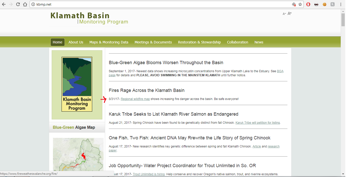
- Fires rage across the Klamath Basin, by Klamath Basin Monitoring Program (2017), www.kbmp.net — Read more
- Why so smokey [sic]..., by KBOW (2017), www.kbow550.net — Read more
- Deck building products fire ratings to minimize fire threats, by Duradek (2017), www.duradek.com — Read more
- Union County, Oregon Search & Rescue Spot Forecast See the example
